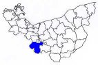
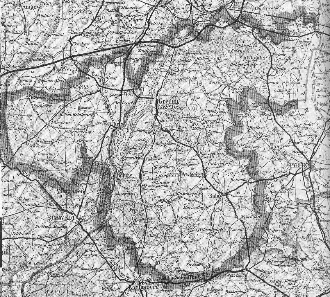
| Karte
vom Landkreis Greifenhagen Map of the destrict Greifenhagen |
|||
| ImageZoom
erlaubt es Ihnen einen näheren Blick auf den Landkreis
zu werfen. Klicken Sie nur auf die Karte und der
Ausschnitt wird näher harangezoomt. ImageZoom allows you to take a closer look at the map of the destrict. You can zoom in the map by clicking on the image. |
|||
ca. 1939 |
|||
| ©
Bundesamt für Kartographie und Geodäsie, 2001 Ausschnitt Provinzkarte (1:300 000) - 335 kb |
|||